The Origin of the Emerald Fringe
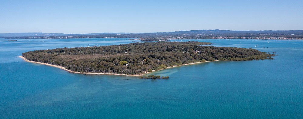
Keith Slack writes about how, in 1878, the Surveyor General’s Department was mandated to leave a minimum buffer of 150 links (30 metres) to the high-water mark in the island’s survey of crown land. This area was opened as an esplanade that is now known as the Emerald Fringe.
The Emerald Fringe
The Emerald Fringe is bushland that skirts right around the island. It’s public/state-owned land, and heritage listed with Redlands City Council. This feature sets Coochiemudlo Island apart from other Queensland inhabited islands.


